Glen Trool has been a favourite place of mine in Dumfries & Galloway for adventures. I have bagged Merrick (the highest point in the south of Scotland), I’ve fly fished lochs Valley and Neldricken, and I’ve hiked out to Mullwharchar (one of the most remote hills in the south of Scotland).
One hill I discovered as I was researching walks was Lamachan Hill (2,352ft), which sits across Loch Trool, to the south of Merrick. I’ve always wondered about the rocky, rugged looking hill to that looms over the loch. If you’ve ever visited Bruce’s Stane at the end of the glen, the big hill facing you is called Mulldonoch and is a sub-summit of Lamachan Hill.
Intrigued, I found THIS route at WalkHighlands, a 10.5 mile hike along a ridge which bags the smaller hill Curleywee and eventually Lamachan Hill.
So on a lovely spring day I set off on what may be the best hillwalk I’ve done in Dumfries & Galloway.
Heading to Loch Dee
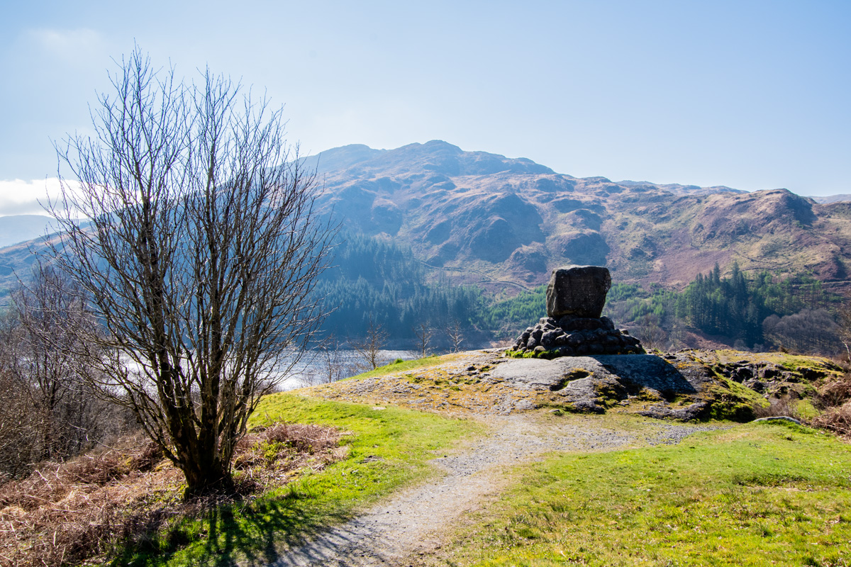
Having parked at the big car park at the end of Glen Trool, I went for a look at Bruce’s Stane (which is a must every time I visit the glen!). The sun was high in the sky and the loch was shimmering in the spring sun: I knew it was going to be a great day for a ridge walk.
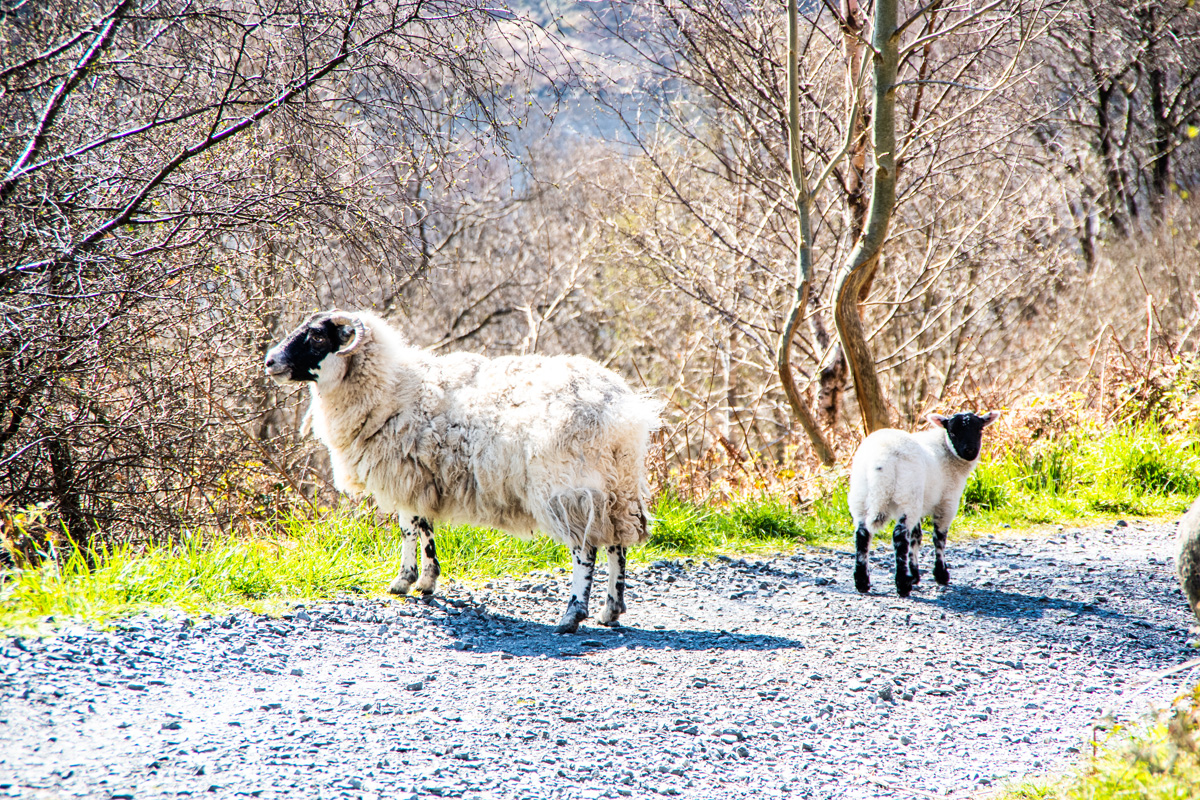
Dropping off the hill upon which Bruce’s Stane stands, I followed the path which descends to the loch and immediately ran into a sheep and a wee lamb. The walk was 5 minutes old by this point and I’d already ticked off the mandatory ‘ThatGuyBry see’s a sheep’ part of seemingly every walk I do!
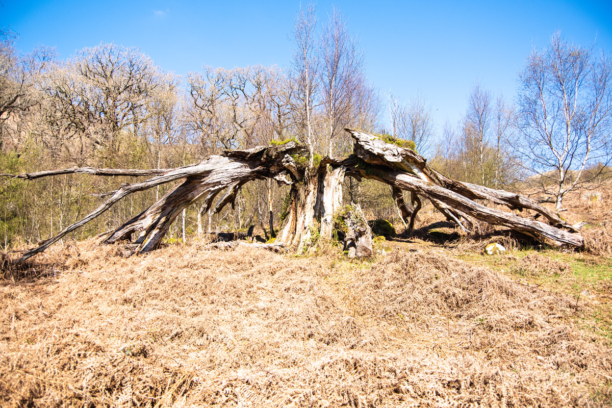
I usually keep a wee pace up in this area as it’s quite popular with walkers and I like to get out into the wild on my own but I couldn’t stop pausing to take pictures. Passing some lodges and crossing an old stone bridge with a beautiful waterfall under it, a perfectly split tree caught my eye. It was too interesting not to take a picture of!
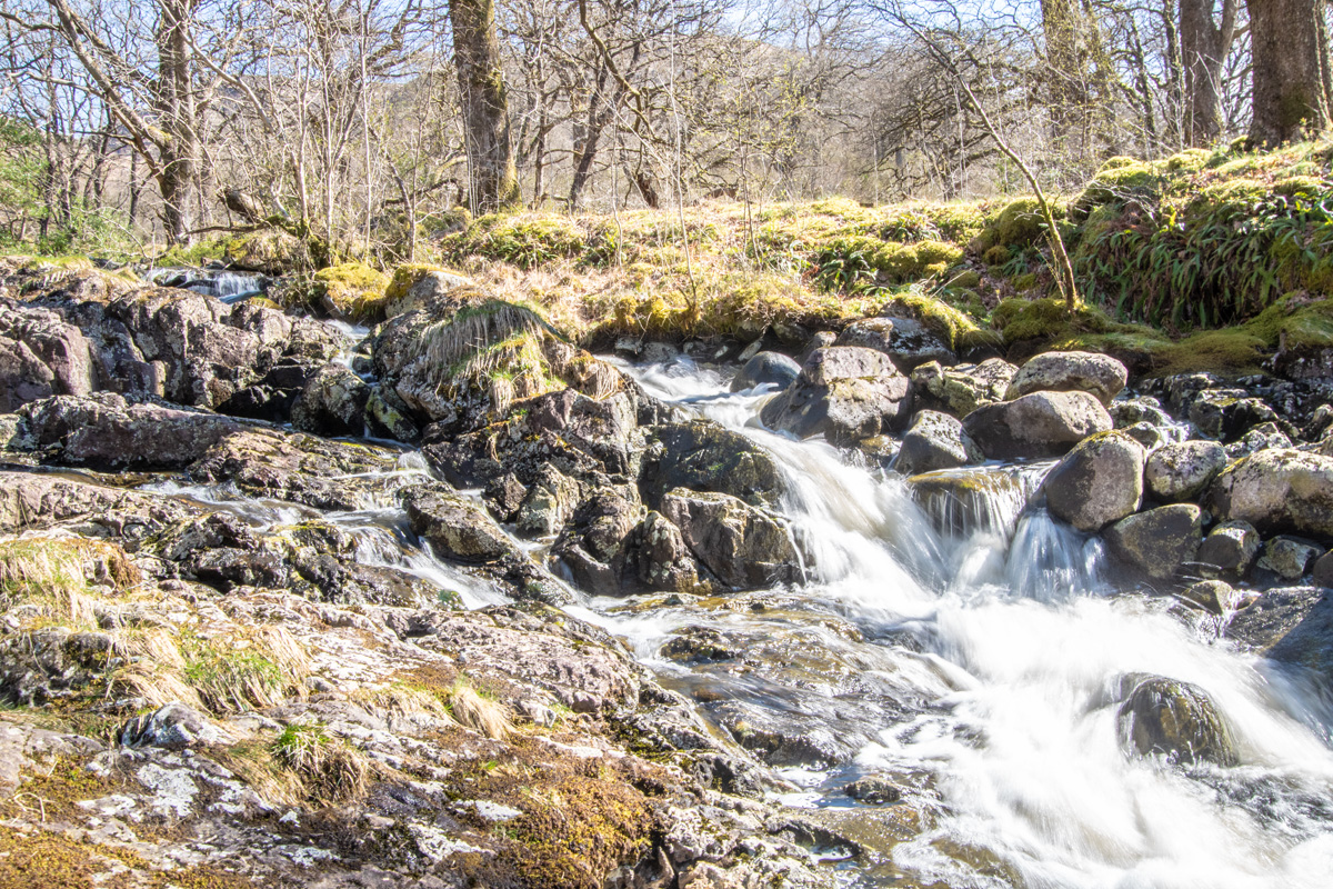
The track follows the Glenhead Burn and re-enters a lovely little wooded area with a criss-cross of burns flowing down into the loch. Once again I was stopped, this time taking photo’s of the pretty waterfall that noisely flows under a little wooden bridge.
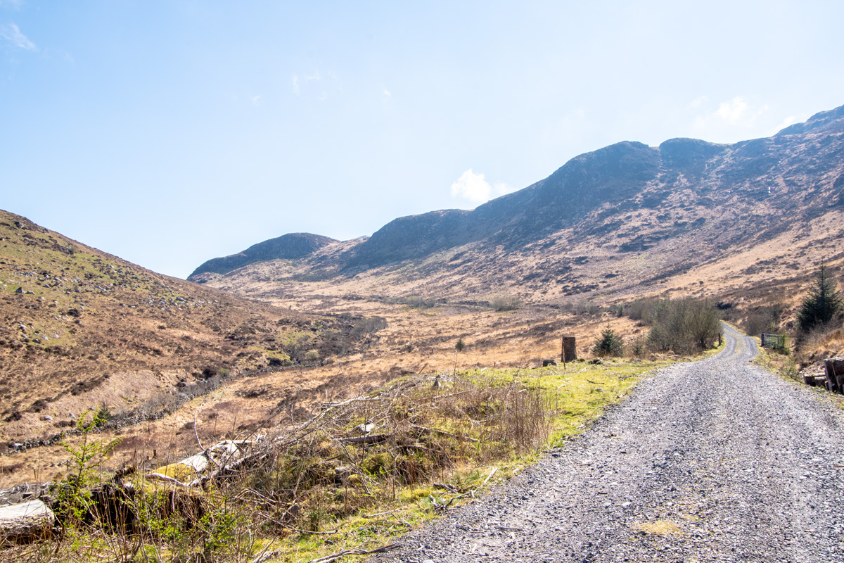
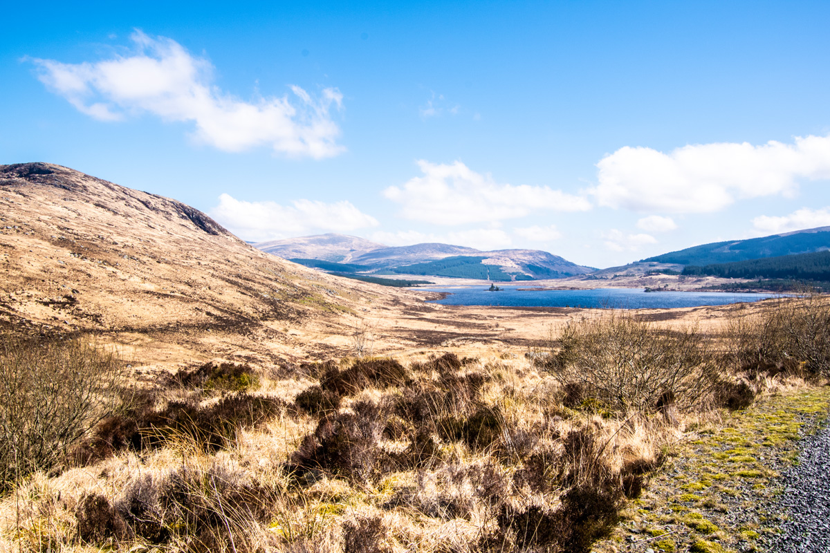
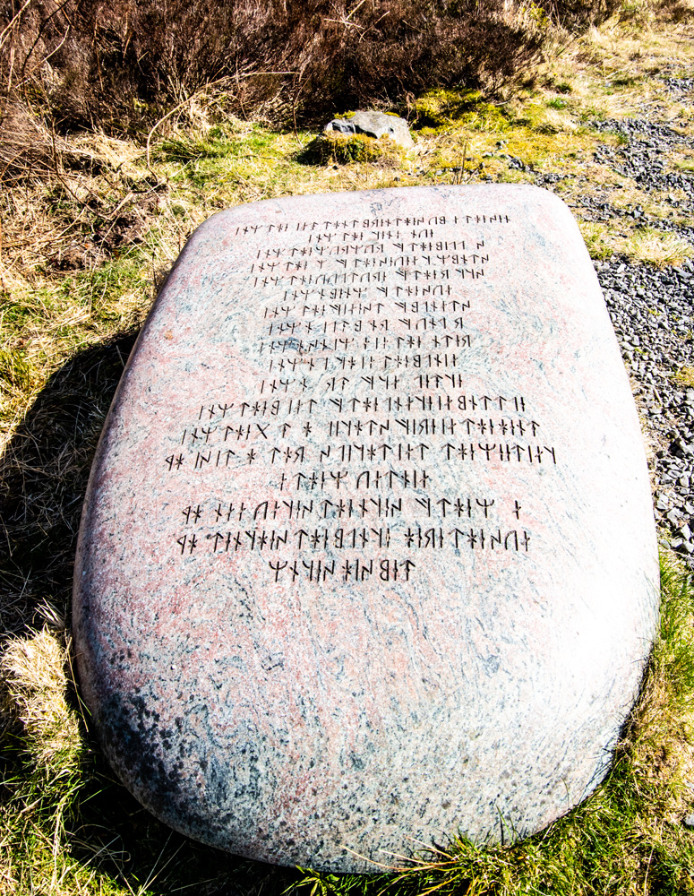
The path continues to wind through the woodland, passing some holiday cottages before crossing the burn and emerging onto the open moorland, where the path curves upwards towards Loch Dee.
The Old Guy
It was while heading towards Loch Dee that I had one of the best encounters I’ve had on one of my walks in quite some time. An older walker was approaching me, walking by himself and to my surprise he stopped to chat to me. We immediately exchanged pleasantries about how wonderful the weather was and how the scenery that surrounded us was beautiful.
He was patting Messi and seemed quite taken with him (I’m used to this, he is a handsome fella after all). To my surprise, he pulled a dog biscuit out of his pocket and gave one to Messi.
“He won’t leave you alone now. You’re best friends because of that!” I said, laughing. I know only too well how food motivated my walking buddy is. The old guy chuckled and said he didn’t mind, producing another dog biscuit for Messi who had now realised he’d hit the jackpot with this walker.
“Where are you both headed?” he asked me.
“Lamachan Hill is the target” I replied, motioning behind him to the mass of Lamachan Hill. He frowned a bit and I explained it’s the hill you see from Bruce’s Stane and he immediately twigged where we were going.
“That’s some walk! How many miles is that going to be?” He asked.
“Maybe around 15 all-in” I replied
“Are you sure you wouldn’t like a few biscuits too!?” was the reply I got, as we both laughed.
I thanked him for Messi’s biscuits and we said our goodbye’s as we each headed in different directions. After 5 minutes I realised I was walking alone and, glancing back, I saw Messi standing on the path looking backwards, watching the old guy walking away.
He looked heartbroken as his new ‘friend-with-the-biscuits’ wasn’t coming with us.
The Amphitheatre
The nice track hits an ‘S’ bend and it is at this point that we had to leave it and enter the thick heather and the going gets much tougher.
There are hidden holes, ‘ankle-breakers’ and the faintest of tracks that winds up the steep side of ‘Whitehill’. The sun had only been getting higher in the sky and the going was quite tough. What had started as a pleasant walk was suddenly a hot slog and stop to get my breath back (and cool down!) were becoming a frequent thing!
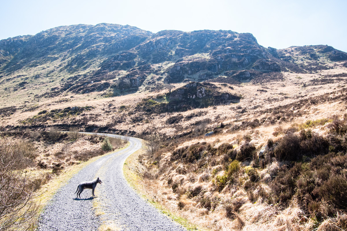
What I hadn’t expected was the reward for getting to the top of the ridge. The only word I can use to describe it is ‘amphitheatre’. Sprawled out in front of us was the entire ridge, from Curleywee to Lamachan Hill and it was absolutely stunning.
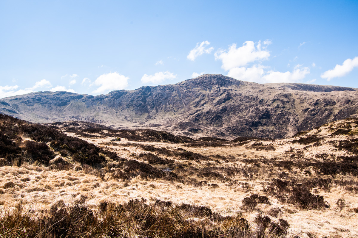
I collapsed in the heather and had a drink of water, soaking in the atmosphere of this amazing part of Dumfries & Galloway. I couldn’t believe this beautiful ridge had been here this whole time and I’d never really heard anyone talking about it. Even the walking websites had underplayed how gorgeous it was or made no mention of it at all.
“…make a rough ascent, aiming for White Hill – it’s tough, but the ground does slowly begin to improve as you get higher.”
– WalkHighlands
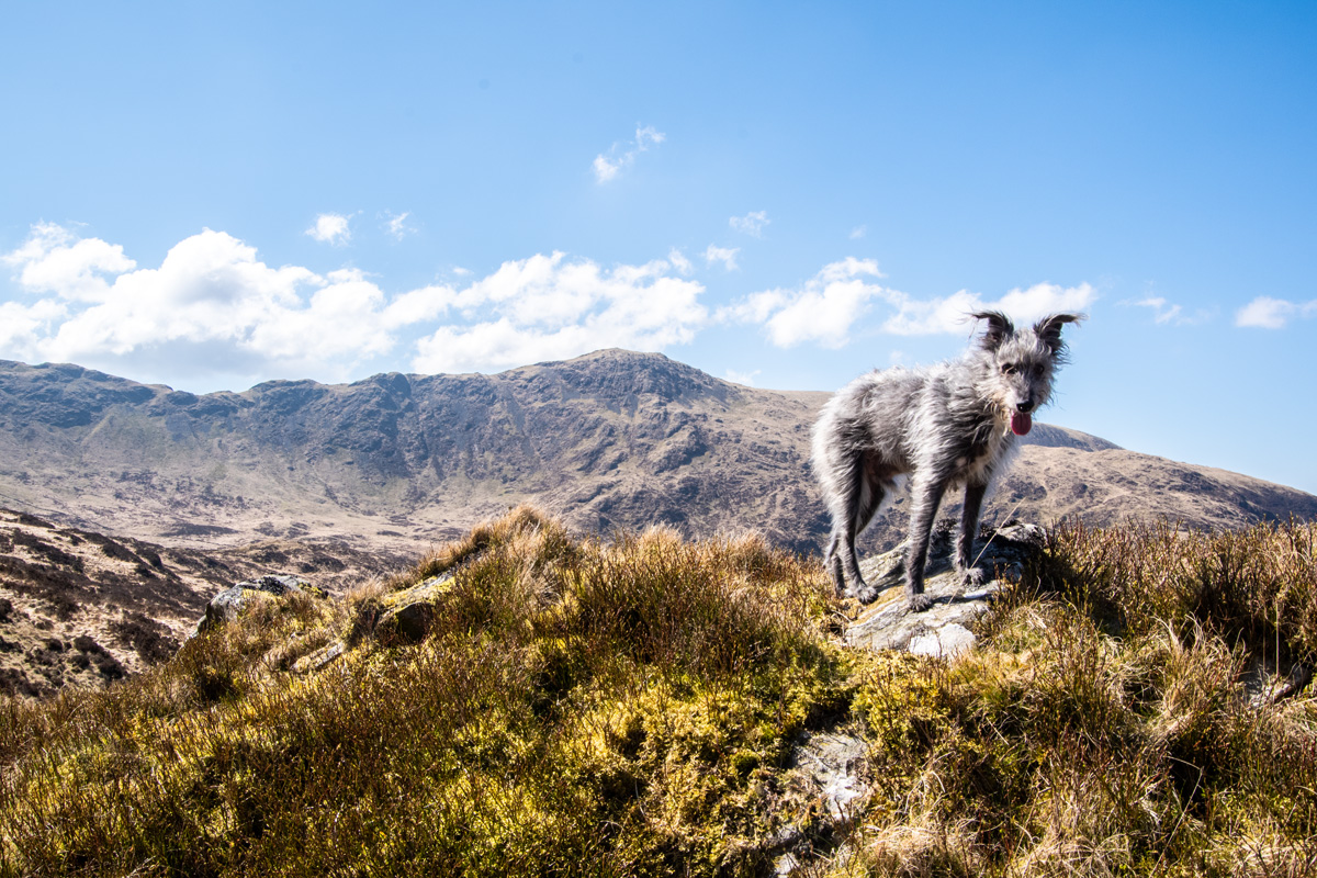
Even the view behind us was incredible, with clear views to the entire Merrick ridge and Lochs Valley & Neldricken, looking particularly blue in the mid-day sun.
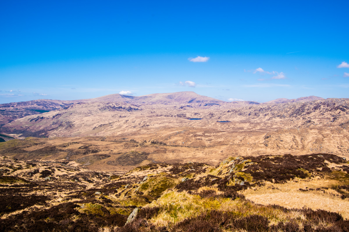
What I hadn’t accounted for was the worst part of the day was about to hit me in the face and was the other part of the ridge. Curleywee.
Curleywee
Once I had picked my self up out of the heather it was time to bag the Donald, Curleywee. Cute name right?
You’d be wrong. There’s nothing cute about Curleywee. It’s a Donald with only hate in it’s heart and it had decided on this day, I’d be it’s victim.
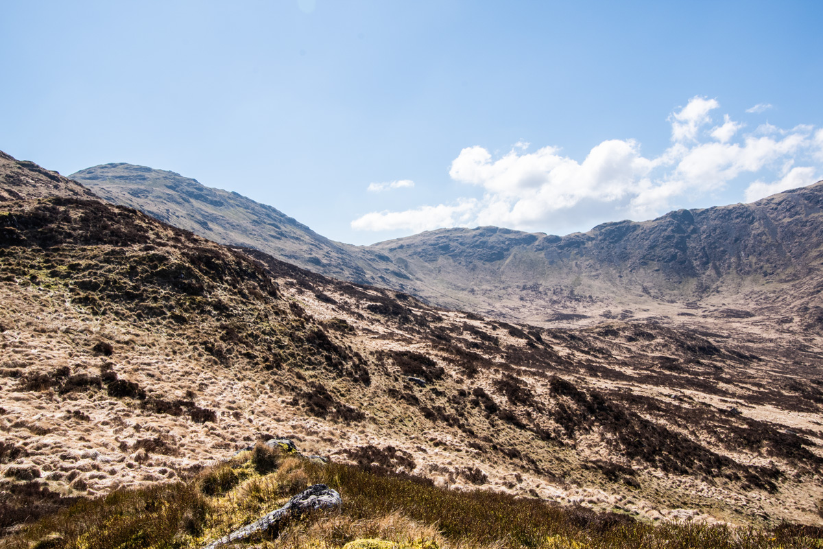
“Steep-sided Curleywee has bags of character and must rank as the shapeliest of the Donalds.”
– WalkHighlands
Did I mention it was warm? Did I mention Curleywee is steep? Because those two factors caused my attitude to change from “Oh I will just hop up onto the summit of Curleywee then head along the ridge” to “If I could just reach the summit of Curleywee some time today, that’d be great”.
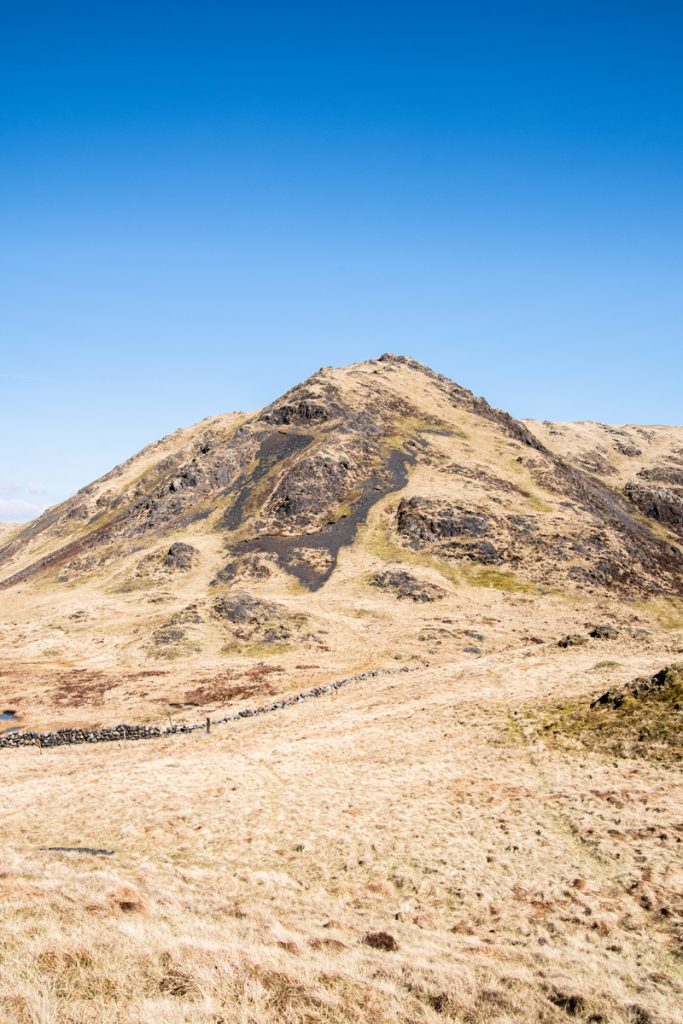
My progress was slow, steady and involved a far greater amount of curse-words than I am willing to type here. I also couldn’t help but notice the higher we climbed on Curleywee the blacker the rocks were getting. Things were getting sinister on Curleywee and then the Donald decide to turn it’s wrath on Messi!
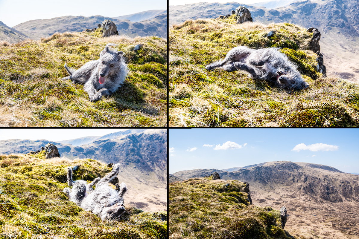
On one of our frequent breaks as we ascended Curleywee, Messi had decided to have one of his trademark ‘rolls in the heather’ and had clearly misjudged his proximity to the edge of the ridge and rolled right over it! Thankfully it was a small drop to the soft heather below but I took it as a further sign of Curleywee’s hostility towards us.
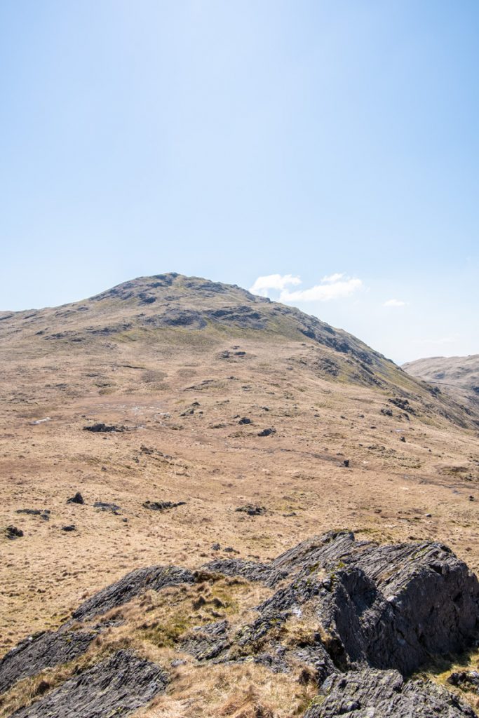
Finally, we arrived on the summit and the reward was more than worth it. The views were endless, over Newton Stewart and out to sea over Garlieston Bay. It really is a beautiful summit and one that would be worth it you didn’t want to push on to Lamachan Hill.
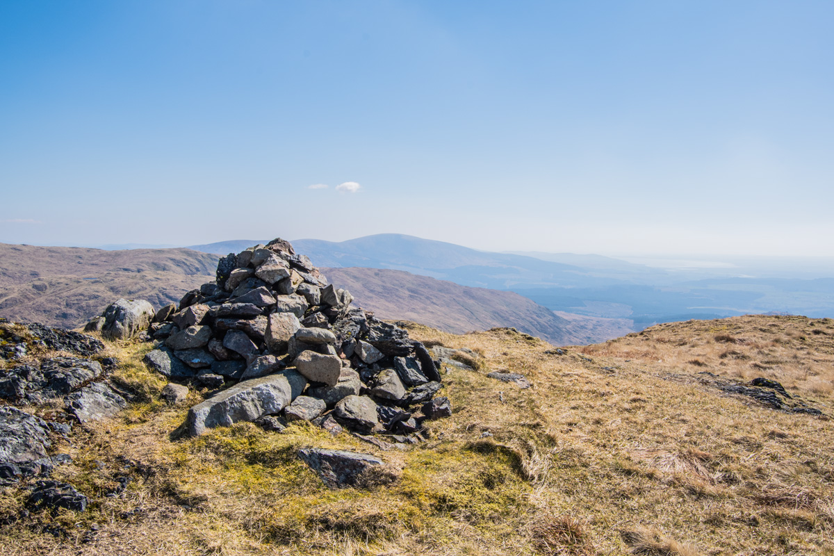
After a good rest, we set off to the main target of the day: following the ridge to the summit of Lamachan Hill. All we had to do was get off of Curelywee. Which, not surprisingly, was another hassle.
The west ridge of Curleywee is covered in even more black, volcanic-looking scree and I almost lost my footing more than once as we navigated down it. When I finally reached the ridge and looked back, I swear Curleywee has a demonic, ‘Evil Face’ look to it!
Lamachan Hill
After the battle against Curleywee, the going became far easier and I was finally able to get back to enjoying the walk!
The ridge has plenty of up and down as it undulates along the ridge towards the sub-summit of Bennanbrack but it’s never too difficult and the views on both sides are fantastic.
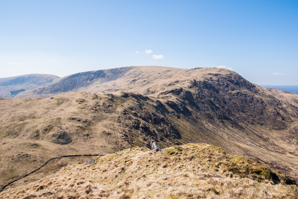
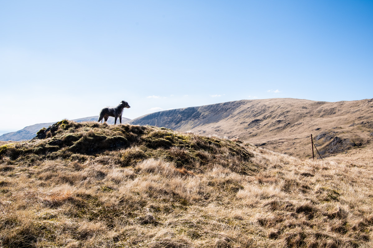
It wasn’t too long before we were on the summit of Bennanbrack and swinging south-west to make the final push to the large, flat summit of Lamachan Hill. As easy as the ridge had been, the constant ascent and descent in the now blazing heat had made this expedition harder than it needed to be and I was delighted to see the summit shelter (and small cairn) coming in to view. It meant I could get a well-earned rest and we could both enjoy lunch.
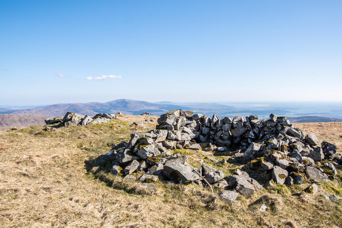
I had toyed with the idea of pushing on further towards Larg Hill but the walk had been so good, the weather was so warm and Curleywee had been so evil that I decided this was a perfect spot to finish. We soaked in the views and enjoyed lunch (I’d brough Messi some sausages) and I spotted an interesting little slate with a message written on it that was nestled in the shelter, which I thought was very cute.
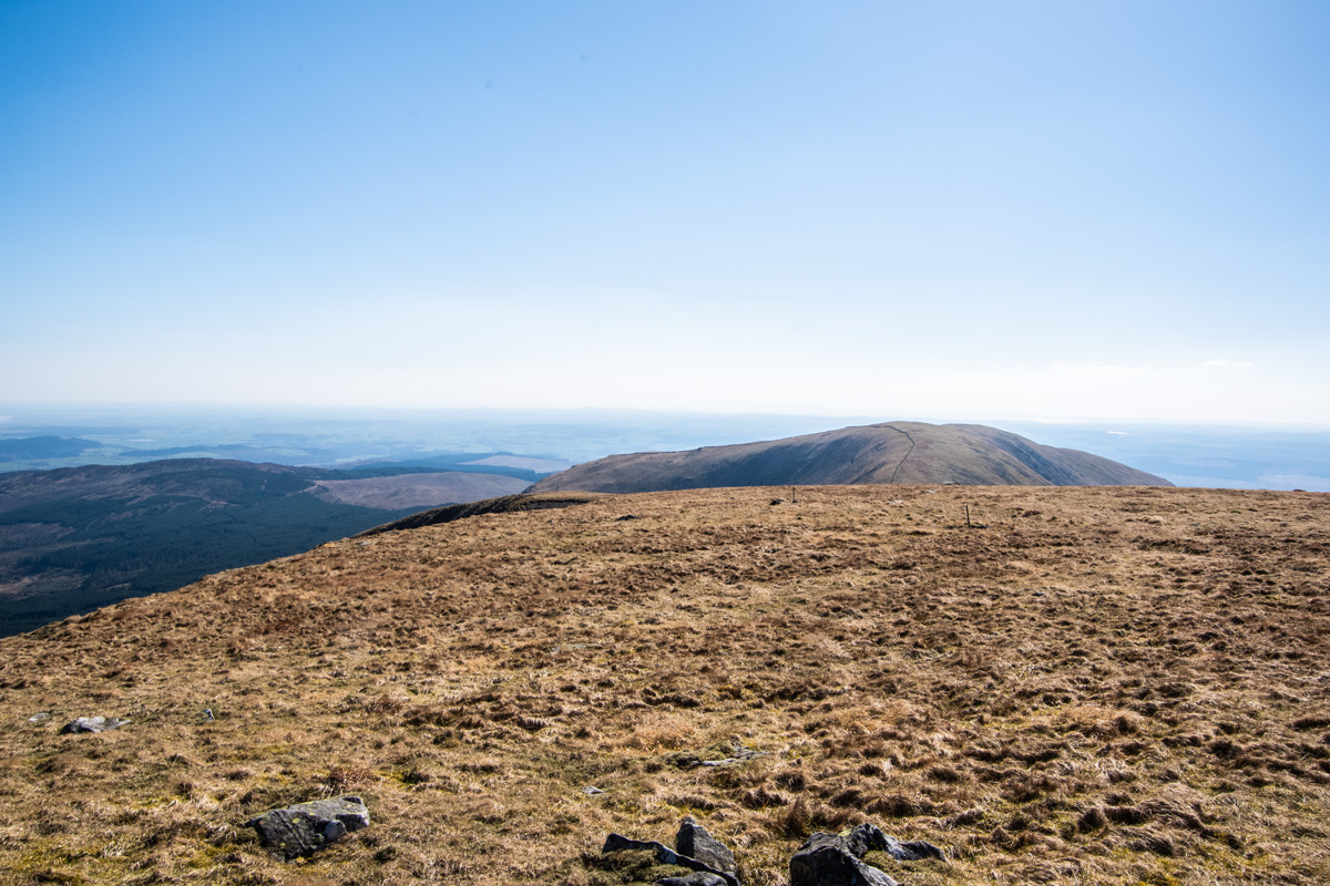
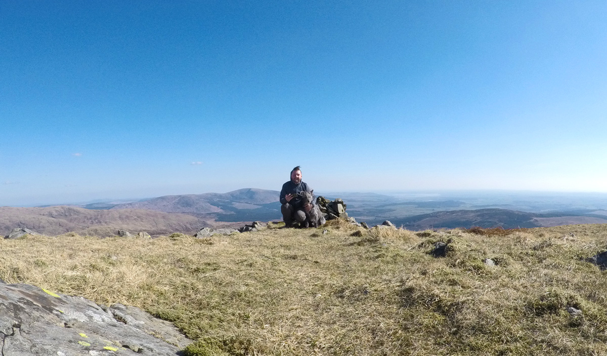
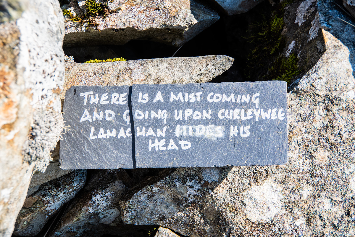
The route home was an adventure in itself as, if you want to avoid extensive backtracking, the recommended route is to follow a faint track between Lamachan Hill and Bennanbrack down through the heather until reaching the track at Loch Dee. I chose to do this and it worked well but I will say to be careful as at points it is steep, boggy and hard going through endless tussocks.
Eventually we found our way down and back to the path and enjoyed a leisurely stroll all the way back to Bruce’s Stane.
Conclusion
This is where I’m going to get controvertial.
I love this walk and I genuinley think it’s one of the best in Dumfries & Galloway. At 2,352ft Lamachan Hill is almost a Corbett and the walk of 10.5 miles, including Curleywee and the ridge, is a longer and more trying walk than some of the Corbetts in the region (such as Shalloch on Minnoch or White Coomb). I’d go as far as to say the actual walk is better than the walk to bag Merrick. The amphitheatre, the ridge and Curleywee are all far more difficult than what you’ll face bagging the more famous Corbett.
I’ve done a fair bit of walking at Glen Trool recently, with my trip to bag Mullwharchar being one of my favourite walks in the region also. I must say though that this walk is fantastic for how little I see it mentioned. If you are heading to Glen Trool for a walk and you’ve already bagged Merrick I’d strongly recommend Lamachan Hill. It makes for a fantastic winter or summer walk and is well worth your effort.
Just be careful with Curleywee.
Walk Information
Route Length: 10.5 miles (I was closer to 14 due to all the strolling about taking pictures!)
Altitude: 2,352ft
Postcode for Bruce’s Stane: DG8 6SU
