It’s been quite a while since I have climbed an English mountain, with the last notable peak I have bagged being the gorgeous Blencathra in the Lake District. For quite a while I’ve had my eye on The Cheviot, the highest point in the Cheviot Hills at the very north of England. A mere 2 miles from the Scottish border, The Cheviot sits in the beautiful Northumberland National Park and at 2,674ft it sounded like a great excuse to head to England! I also specificially chose The Cheviot because it is the highest point in England outside of the Lake District & Penines.
I’d read this hill offered beautiful views in all directions and I was really looking forward to the drive: it would take me 3 and 1/2 hours to reach the parking area in Langleeford. This might sound like a lot (and of course, your drive may not be as long as mine!) but I didn’t mind: the route I had chosen took me through a wide variety of pretty towns and villages. The border area between England and Scotland really is very pretty. Country pubs, quaint hotels, anitque stores and rural garden centres…I saw it all on my drive south.
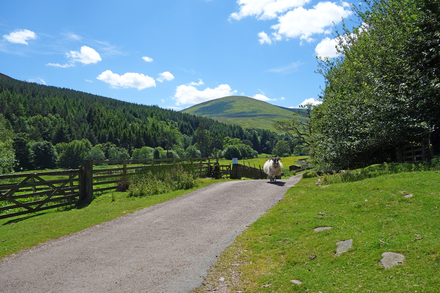
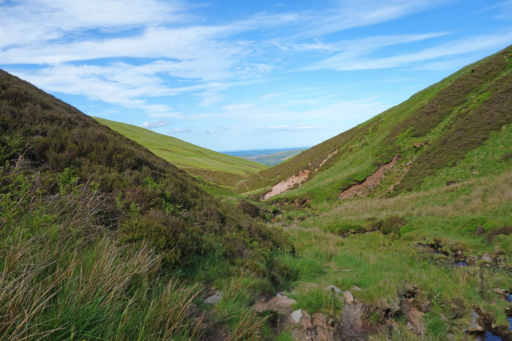
Passing through the very pretty little English village of Wooler, I began the process of squeeling wildly as the road narrowed, as the gradient increased and the potholes got wider. I’m glad the glen…wait it’s England…Valley, wasn’t that long and wasn’t very busy because my howls as I nursed my precious car along the road were not dignified. Thankfully, I noticed how beautiful this lattle valley was, rolling hills, purple heather and sheep grazing. The little Harthope Burn flows through the valley and it all provides a wonderful atmosphere.

The Pretty Valley

The Locals
I soon booted up, had my camera ready and headed off on the route I had decided to take. The Cheviot can easily be bagged from the car park below but if you carry on beyond the summit you come to Scotsmans Cairn (love it!) and can drop down into Langleehope Valley and follw the burn back to the car park. I love a good circuit walk so I set off and followed the road to the little clearing in the treeline. From there, most of the day is just a case of following the obvious track to the summit.
Hello There!
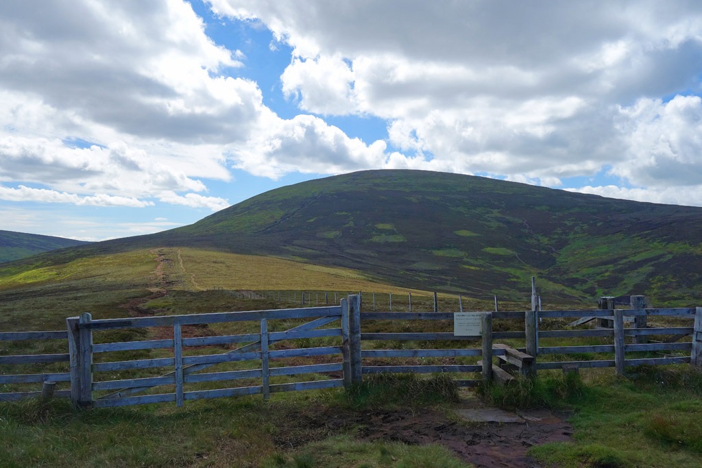
Looking to the Cheviot
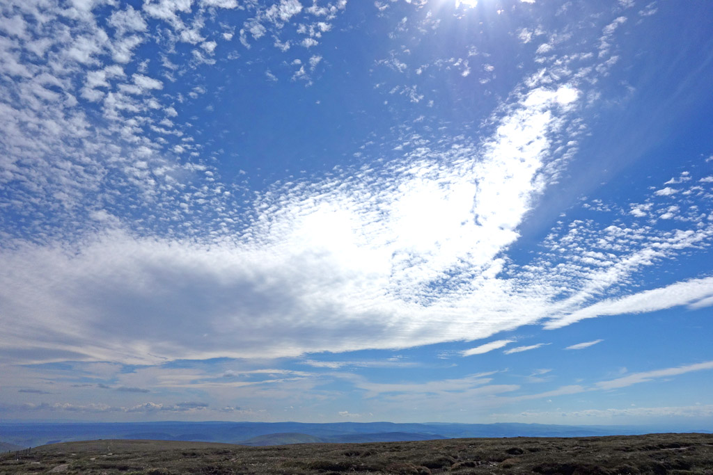
The Beautiful Sky
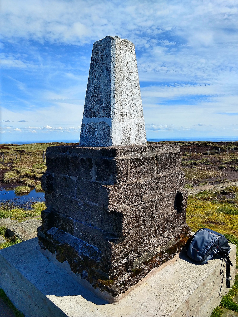
The Summit Cairn
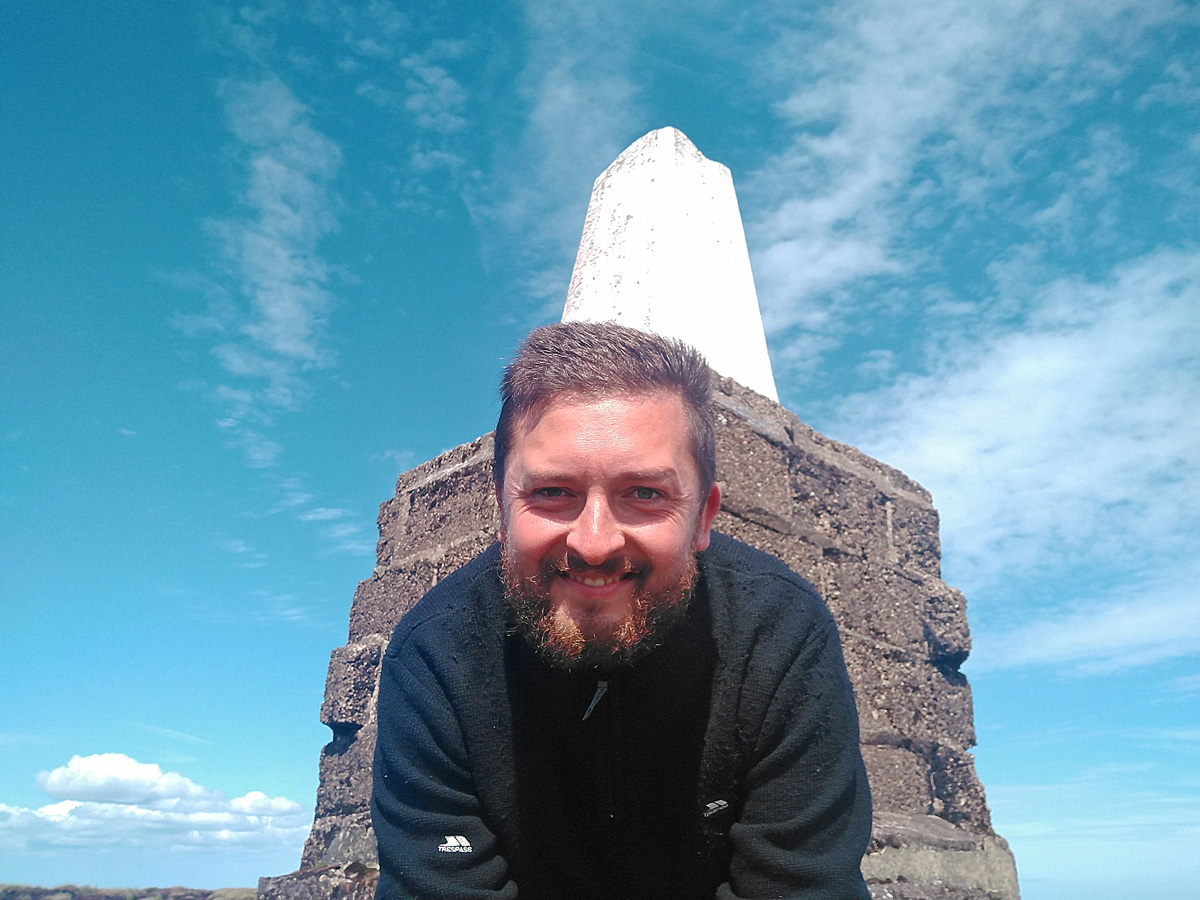
Warning: Beard
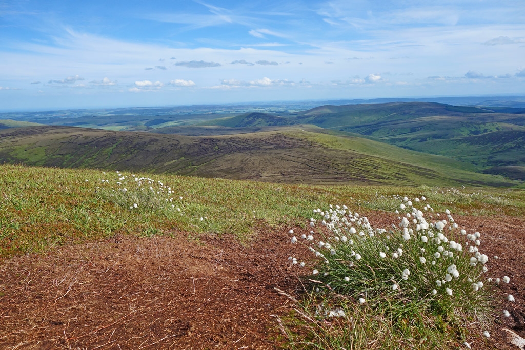
The ascent isn’t difficult but the weather made things a little tough! It was a beautiful, sunny day and it was very warm. Thankfully each time I stopped to cool down I was greeted with sweeping views north into Scotland, east to sea or south into England.
I had read reports online of the summit being unspectacular and I actually somewhat agree: the summit of The Cheviot is odd. It is a wide, sprawling summit that actually blocks some of the views (you will get better views on the ridges rather than on the summit) and it is also covered in a large peat bog. On this beautiful day it was still wet and boggy so I can only imagine how it is in winter or after heavy rain.
The cairn is also massive, which is perfect for sitting on to have your lunch but…does look a bit odd!
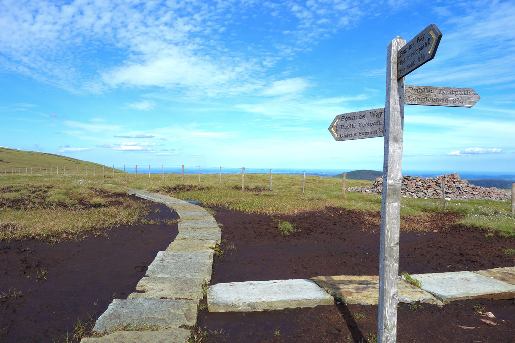
The Sign to the Summit
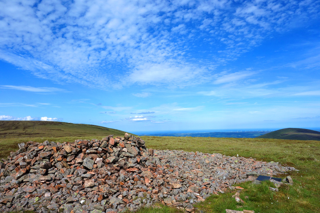
The Scotsman’s Cairn With The Cheviot Behind-Left
The Views to the West

More of the Locals
The Boggy Valley Back to the Carpark
The hardest part of the day was the descent, returning through the valley. It is boggy, the burn runs through it, and the path comes and goes. By the end of it my boots were muddy and I’d gotten a bit sick of jumping over the little burn repeatedly!
Looking Back: So Much Green!
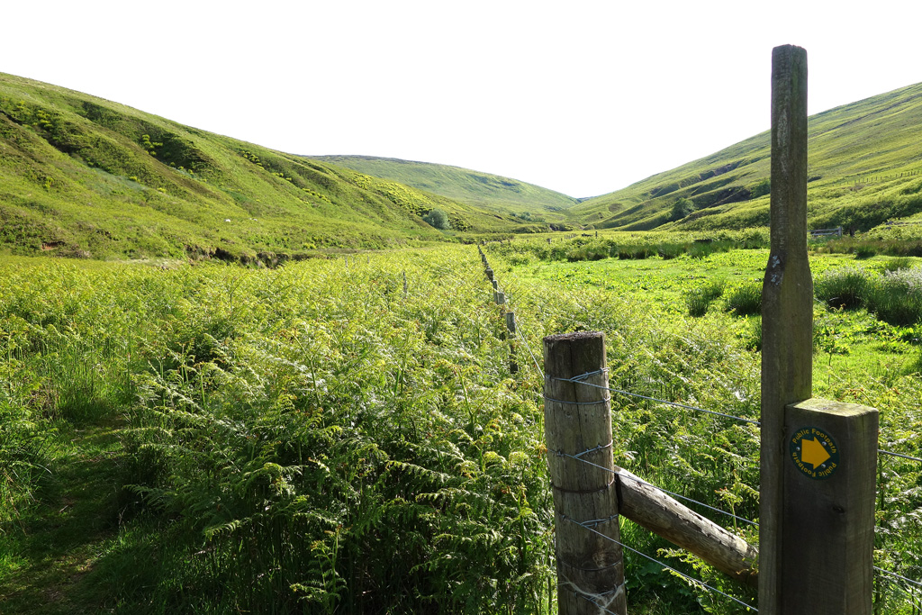
Once the tight valley ends the walk goes back to being leisurely and the walk back to the car park is a doddle. I can’t stress enough, the Valley is a beautiful place to be. The range of colours is beautiful and the whole area is teeming with wildlife. Grouse, partridges and pheasants are everywhere. Grouse calls will be the background music for your day. It’s just a great place to spend a day.
Where ever you’re coming from, The Cheviot is well worth your time!
Route Information
Altitude: 2,674ft
Route Length: 8 miles
Parking: FREE